Photos by Vivian Stockman; Flyover courtesy SouthWings
For permission to use photos (non-profit groups, school, students, low-income organization) or to purchase one-time photo-use rights (for-profit groups) contact vivian@ohvec.org.
Note: high res images have been compressed slightly to improve download speed for most browsers. Original digital images are available on request.
Click any image to view at full size
-

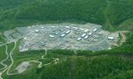
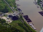
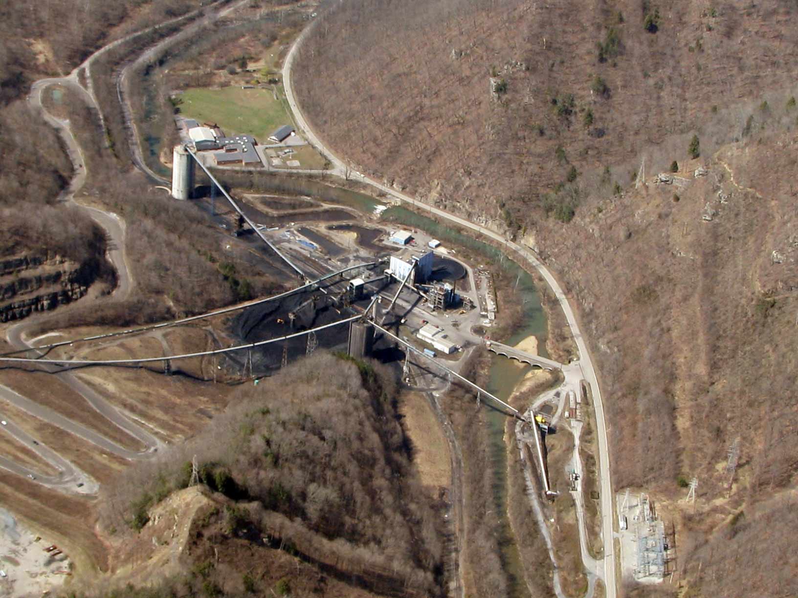
- The green field, just above center to the left, is the ball filed for Marsh Fork Elementary School. The massive coal silo is visible at left. Right of that is the coal processing plant. The zigzagging road at left foreground is on the face of the earthen dam, which is supposed to hold back 2.8 billion gallons of toxic coal sludge.
-
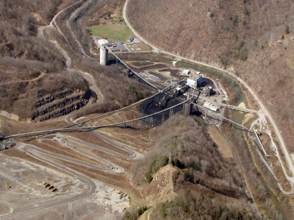
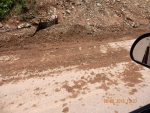
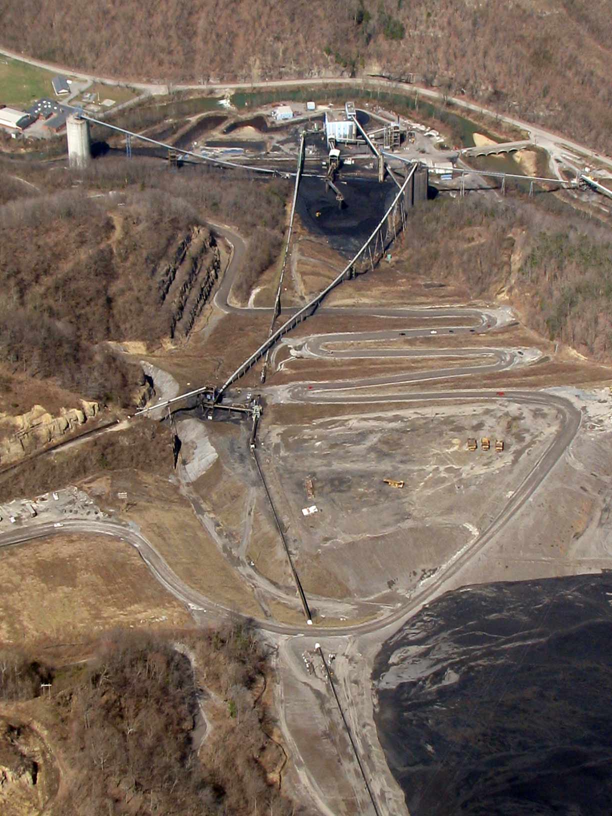
- Climbing higher up the dam.

-

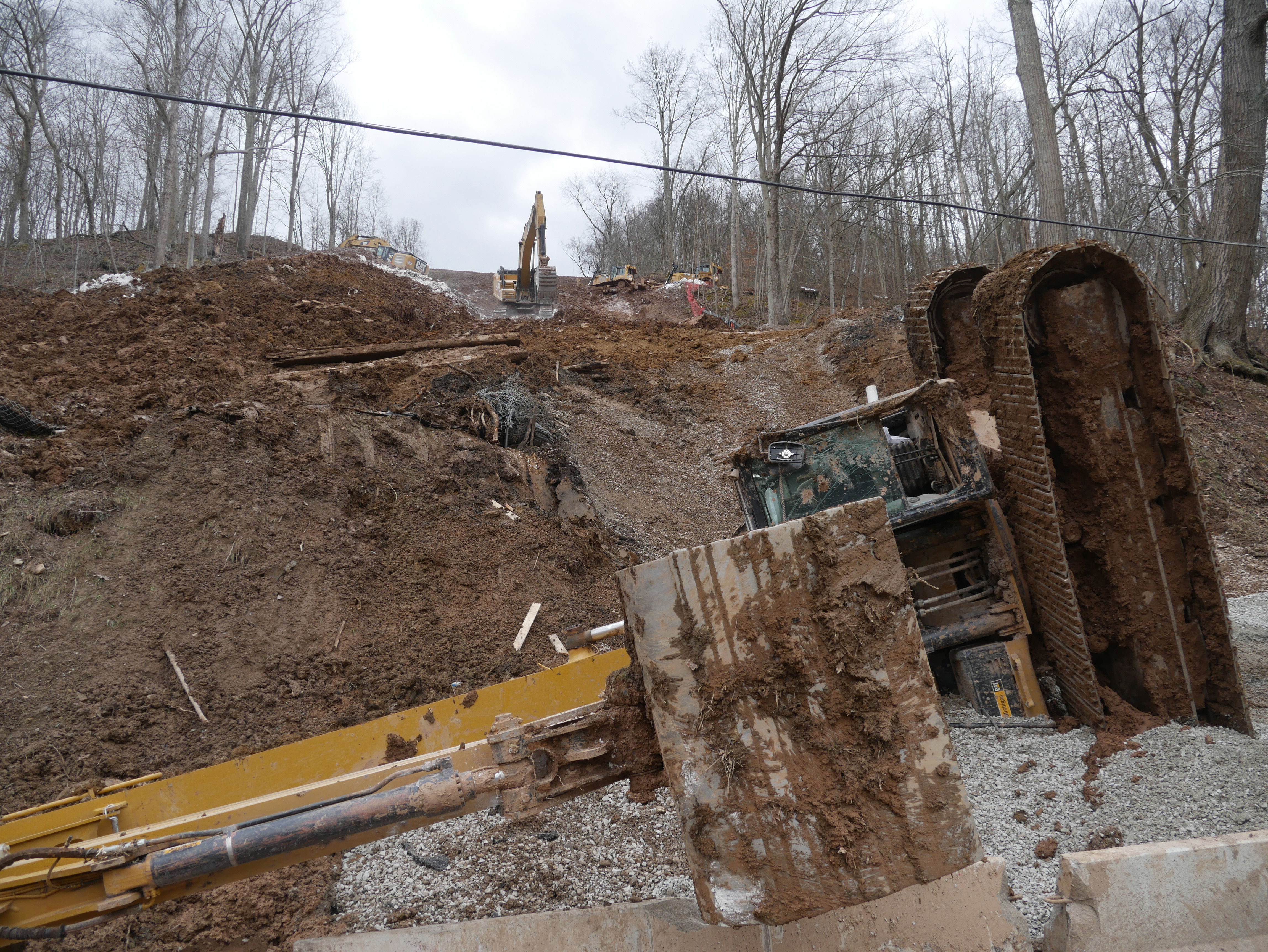
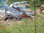
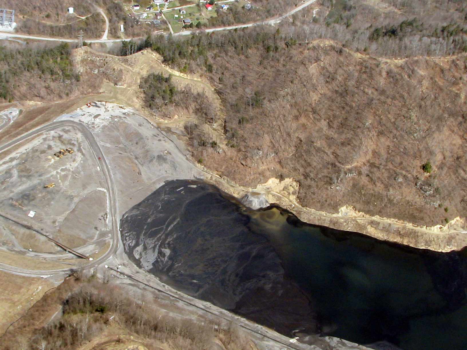
- The slurry at the edge of the dam is revealed.
-

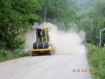
- Mmmm kids, don’t worry–toxic sludge is good for you!
-
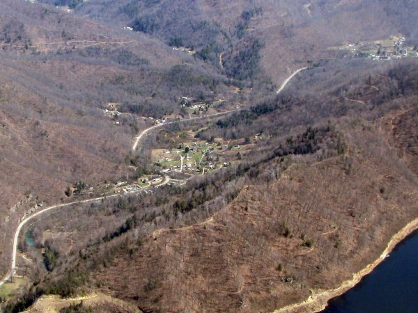
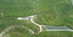
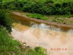
- Edwight, Sundial, Pettry Bottom, Naoma. Hmm, should these communities worry about the mountaintop-removal-related blasting going on above this dam and lake of toxic sludge?