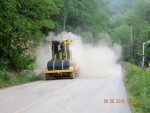
Photos by Vivian Stockman; Flyover courtesy SouthWings
For permission to use photos(non-profit groups, school, students, low-income organization) or to purchase one-time photo-use rights (for-profit groups) contact vivian@ohvec.org. Original digital images may be available on request.
Click any image to view at full size
-
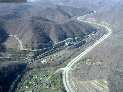
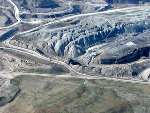
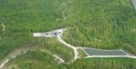
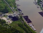
- Coal tipple near Madison, visible from Corridor G (Route 119 south of Charleston, WV). The coal conveyor belt that carries coal to the tipple can …
-
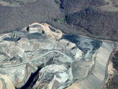
- Slurry Lake above the tipple shown in the first picture (conveyor belt can be seen on the right).
-
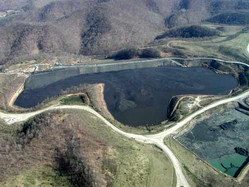
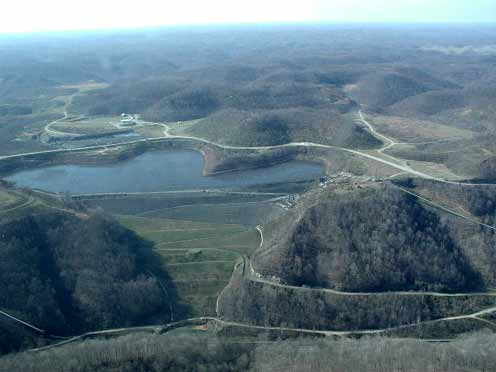
- Another view of the slurry lake.
-
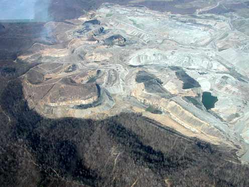
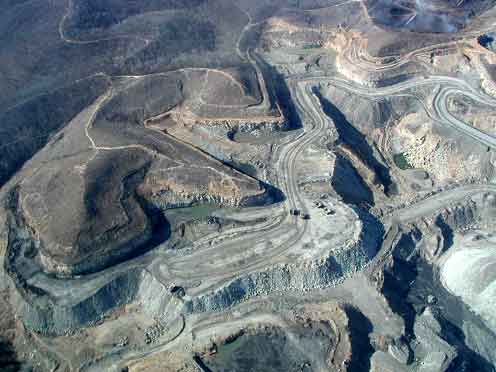
- Remnants of a mountain on the edge of the Hobet 21 site.
-
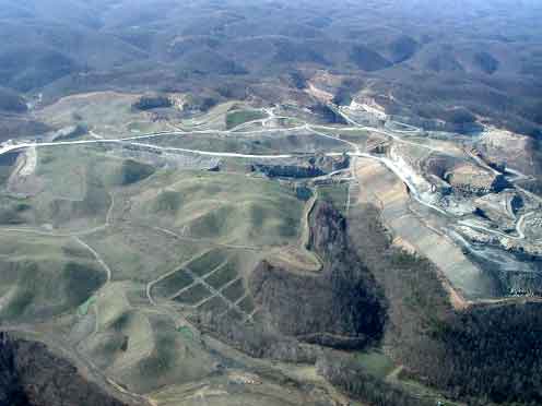
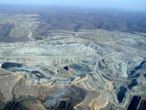
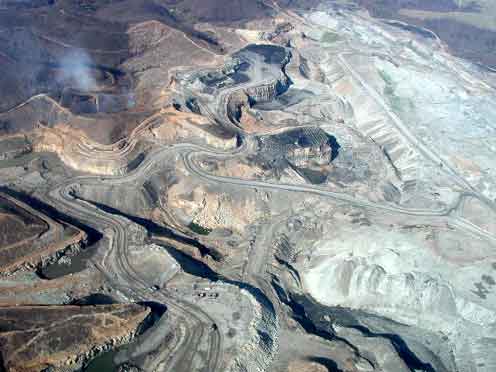
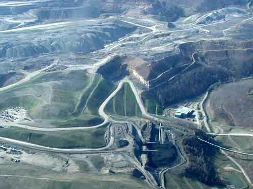
- Older valley fills.
-
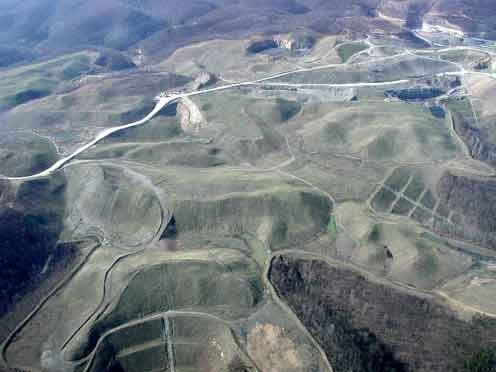
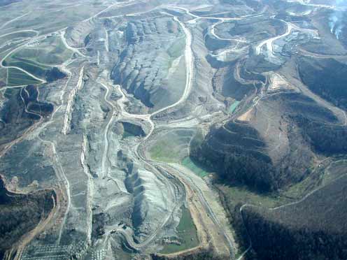
- Another view showing several valley fills.
-
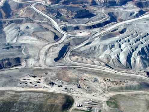
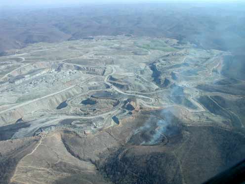
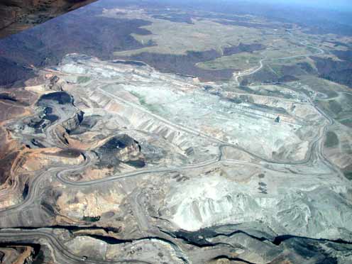
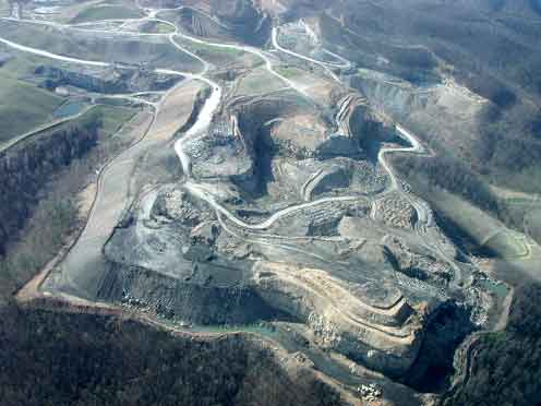
- Part of the active mining operation.
-
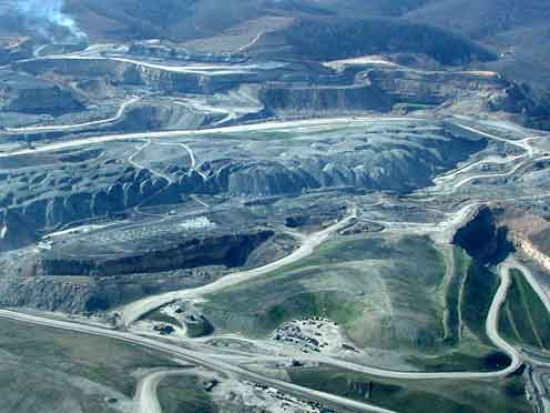
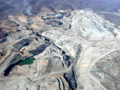
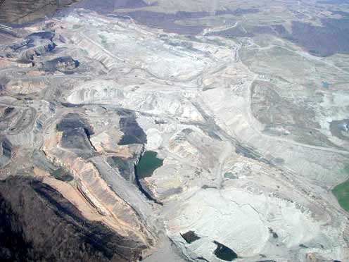
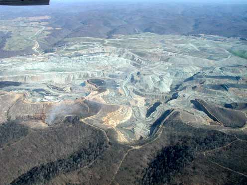
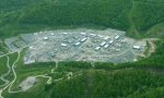
- A wider view of some of the devastation.