Photos by Vivian Stockman; Flyover courtesy SouthWings
For permission to use photos (non-profit groups, school, students, low-income organization) or to purchase one-time photo-use rights (for-profit groups) contact vivian@ohvec.org.Original digital images are available on request.
Click any image to view at full size
-
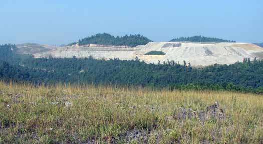
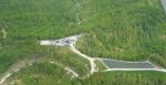
- For reference, here is Stover Cemetery, a green island within the Catenary Coal Company’s destruction of Kayford Mountain. The cemetery is the lef…
-

- The day after OVEC took the ground shot, a cameraman flew over Stover–and said to himself–that can’t be Stover, there are bulldozer tracks! But i…
-

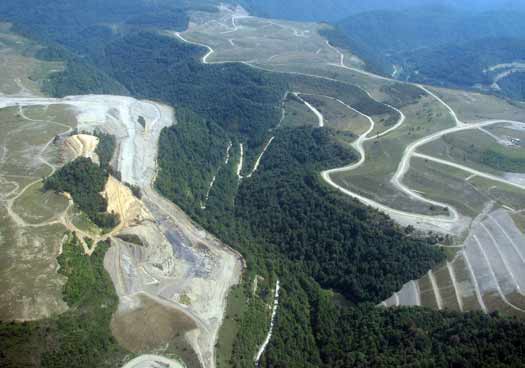
- Somewhere in the trees at mid-photo left, above the tan area, is what’s left of Stover Cemetery.
-
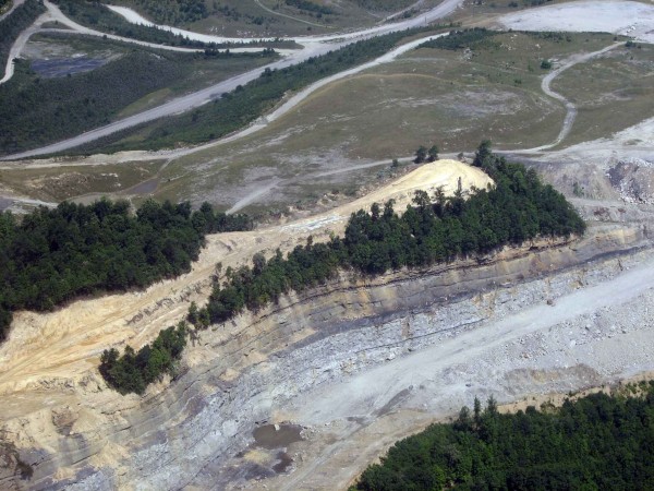
- See those white dots in the center–that’s where blasting charges have been set! So much for resting in peace…. Click through for high res

-
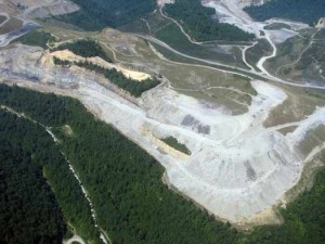
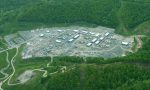
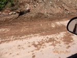
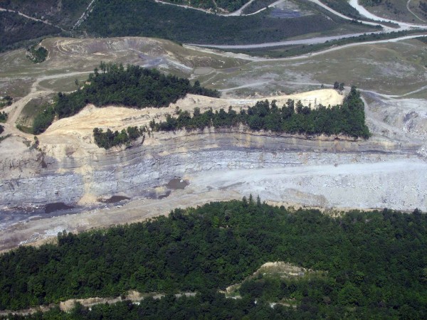
- Hey kids, check out the “reclaimed” areas on Kayford Mountain. Hmmm…looks likes “reclaimed” areas are indeed biological deserts and buried stream…
-
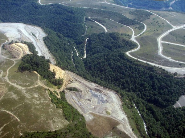
- t center left, the trees on the edge of the property where Stover Cemetery lies cast a long shadow into the “reclaimed” area. Click through for hi…

-
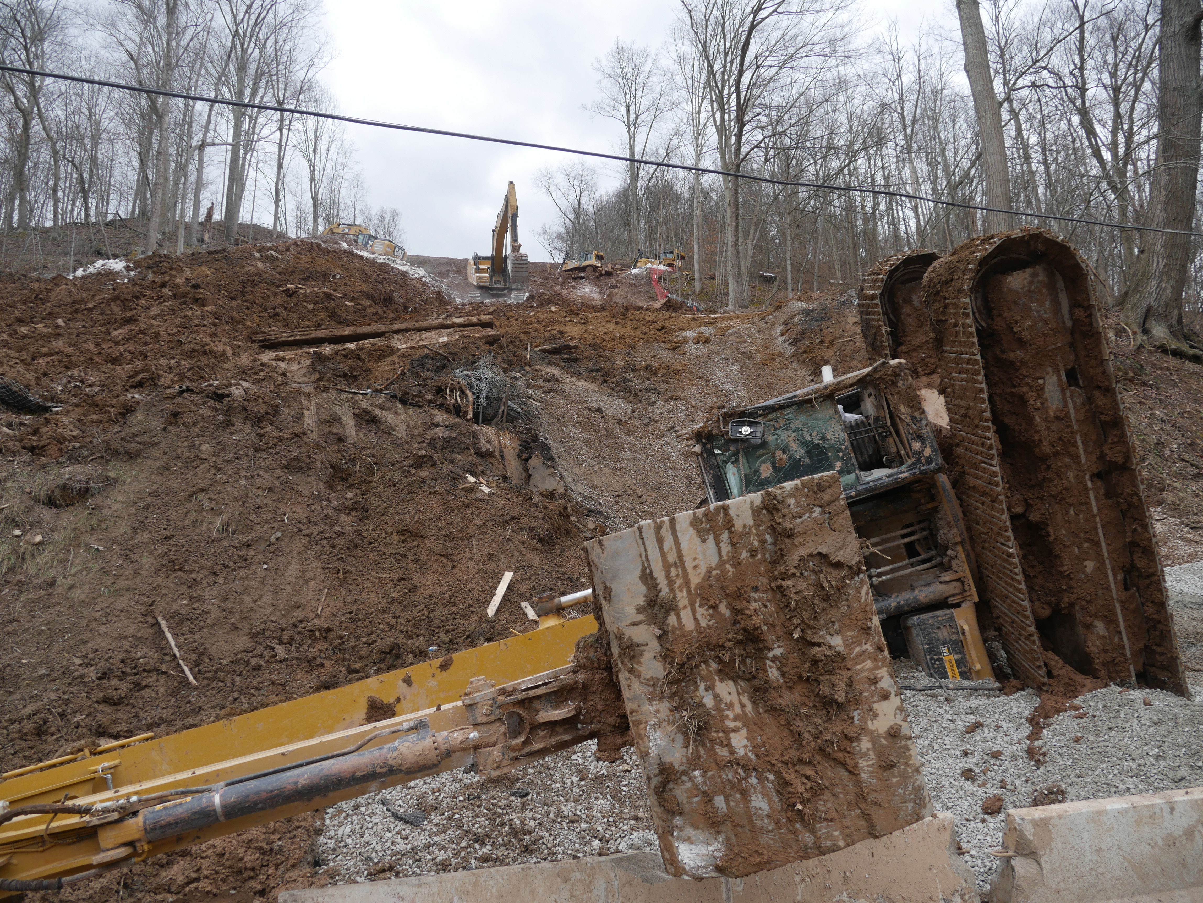
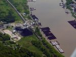
- At right, above the thin line of trees, on the band of tan-colored freshly-annihilated earth, look closely and you can see a rig used to drill blas…

-

- Behind what is left of Stover Cemetery, more of the active destruction of Kayford Mountain. Mother Jones’ words come to mind–Pray for the dead an…