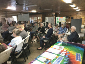
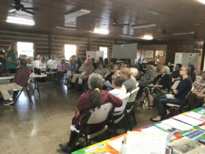
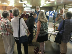
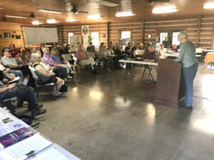
On May 7, the Concerned Citizens of Roane County (many members are also OVEC members) hosted the town hall in Spencer, WV titled Green New Deal: What It Is, What It Isn’t and What It Can Be. 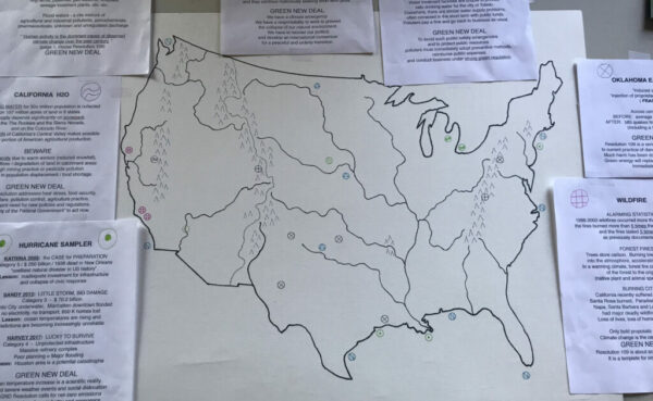
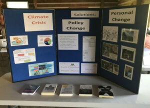
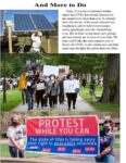
Among the exhibits at the event was a drawing of a map of the lower 48 states (above) made by Bill Reichenbach. On the map, which features rivers and mountain ranges, an X marks the locations where alarming climate-related events are underway or predicted. Bill provided informational sheets for each X. These informational sheets and some photos from the event are below.
